

01
kappl
Stage 8: the Kieler Trail & Riffler Trail
Category:
Hike & Mountain tour | Paznaun High Route
Start:
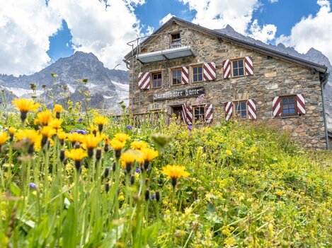
Niederelbehütte
Destination:
Edmund - Graf -Hütte
4:30 h
Duration
531
/ 460 hm
Difference in Altitude
2688 m
highest point
8.7 km
Length


Description
02
Intro
Niederelbe Hütte - Edmund Graf Hütte, 9.00 km, 700 m, 4.50 h
Description
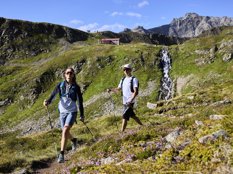
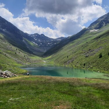
From Niederelbe Hütte we enjoy a pleasurable hike out of the valley along the wonderfully designed Kieler Weg. After we have the ski area of Kappl behind us, a very steep and strenuous ascent follows to the Schmalzgrubenscharte at 2697m. From here our route is called the Rifflerweg and we soon reach the romantic Schmalzgrubenseen. A perfect place to stop for a rest and re-energise for the descent to Edmund Graf Hütte at 2408m, which is coming up. Tip: If your fitness and the weather permit, theres nothing to stop you having a go at an afternoon ascent to the Hohen Riffler at 3168m. (2.5 hours walking time from the lodge to the summit).
Difficulty: Middle Length: 9.00 km Duration: 4.50 h Ascent: 700 m Descent: 600 m Highest Point: 2704 m Lowest Point: 2172 m Start: Niederelbe Hütte End: Edmund Graf Hütte
Difficulty: Middle Length: 9.00 km Duration: 4.50 h Ascent: 700 m Descent: 600 m Highest Point: 2704 m Lowest Point: 2172 m Start: Niederelbe Hütte End: Edmund Graf Hütte
Arrival
Parking
Public transport
Tour type
Multi-day hike


Map
03


similar tours
04
Mountain love
more Suggestions
similar tours
Take part and win!
Take part in our survey and with a little luck win a holiday in Austria!
