

01
galtuer
Wirl - Bielerhöhe und Rundwanderung um den Stausee
Category:
Hike & Mountain tour
4:00 h
Duration
495
/ 105 hm
Difference in Altitude
2090 m
highest point
15.2 km
Length


Description
02
Intro
Medium difficulty hike from Wirl to the Bielerhöhe
Description
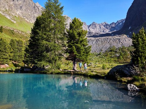
Starting from the Alpkogelbahn valley station in Wirl, the route initially runs along the valley hiking trail until just before the toll station. There you cross the bridge before the path continues to the Bielerhöhe and the Silvretta Reservoir. This is where the circular hike around the reservoir begins. The route first leads over the dam and past an impressive waterfall of the Bieltalbach stream to the southern shore. The trail then follows the western shore of the lake and finally returns to the Bielerhöhe.
Arrival
Parking
Public transport
With the railway station in Landeck, the Paznaun is optimally connected to the Austrian train network. From Landeck-Zams station, only a short bus ride separates you from the Paznaun. Every half hour, line bus 260 runs from there through the valley. Bus stop: Galtür Wirl/Birkhahnbahn
Buses in the Paznaun valley | Region Paznaun – Ischgl
Buses in the Paznaun valley | Region Paznaun – Ischgl


Map
03


similar tours
04
Mountain love
more Suggestions
similar tours

Take part and win!
Take part in our survey and with a little luck win a holiday in Austria!


