

01
galtuer
Silvretta Ferwall March - Silvretta route
Category:
Hike & Mountain tour | Silvretta Ferwall Marsch
Start:
Galtür village square
Destination:
Sports and culture centre
6:00 h
Duration
618
hm
Difference in Altitude
2196 m
highest point
19.2 km
Length


Description
02
Intro
Medium difficulty hike of the Silvretta Ferwall March
Description
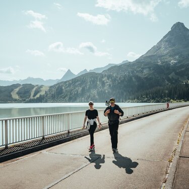
The Silvretta Ferwall March in Galtür has been a unique hiking experience in the Tyrolean Alps for over 50 years. This event attracts nature lovers from all over the world to discover the diversity of the Silvretta region. There are a variety of routes to suit both beginners and experienced hikers. The routes range from easy and family friendly to demanding trails for those looking for a challenge. Participants can experience the breathtaking alpine scenery, including picturesque alpine meadows and majestic peaks, as well as the local flora and fauna. The Silvretta Ferwall Hike combines nature experiences with personal adventures and creates lasting memories.
Arrival
Parking
Public transport
With the railway station in Landeck, the Paznaun is optimally connected to the Austrian train network. From Landeck-Zams station, only a short bus ride separates you from the Paznaun. Every half hour, line bus 260 runs from there through the valley. Bus stop: Galtür Dorfplatz
Buses in the Paznaun valley | Region Paznaun – Ischgl
Buses in the Paznaun valley | Region Paznaun – Ischgl
Equipment
Sturdy footwear
Tour type
Registration necessary
Round trip


Map
03


similar tours
04
Mountain love
more Suggestions
similar tours

Take part and win!
Take part in our survey and with a little luck win a holiday in Austria!


